

Description
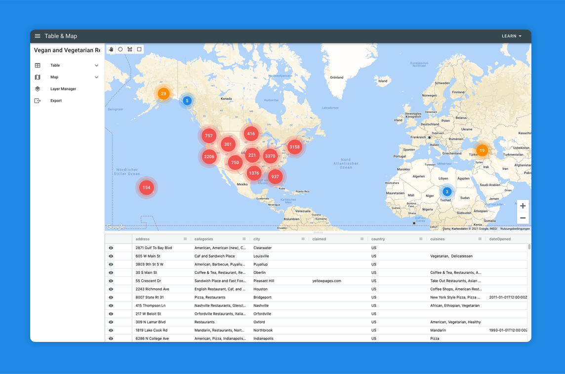
Location Data Visualization App
Overview
The application enables interactive mapping of location data through a combined table and map interface. Users can upload Excel or CSV files containing addresses or latitude/longitude coordinates, which are then plotted on the map using customizable markers or heatmaps.
Technical Stack
- Framework: Vue.js
- UI Library: Vuetify
Related Projects

Placid.app
Creative Automation Toolkit
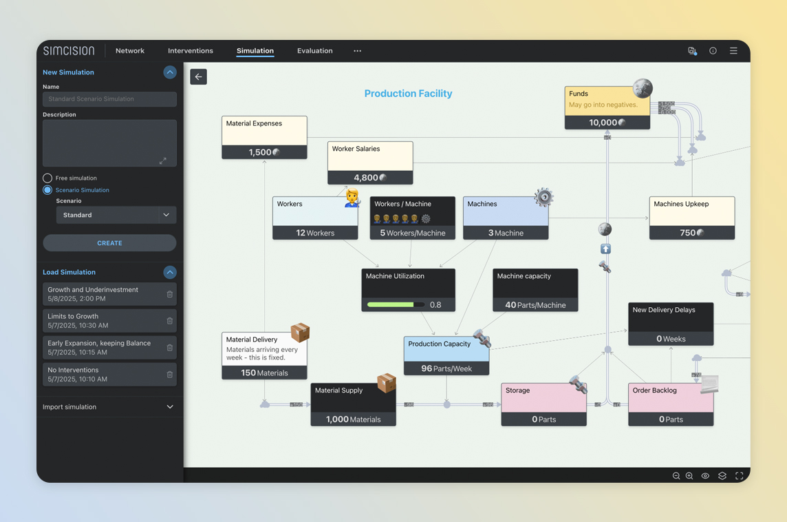
simcision
Tool for Simulation-based Decision Making
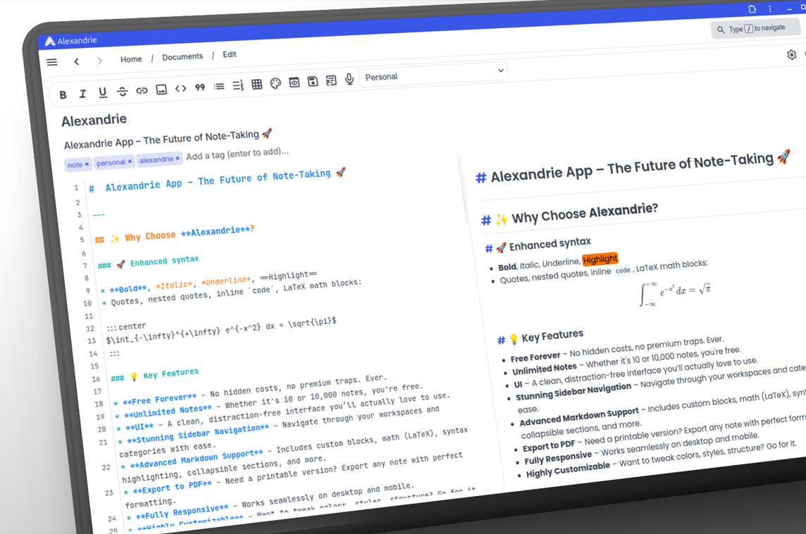
Alexandrie
Open-source Markdown Note-Taking App
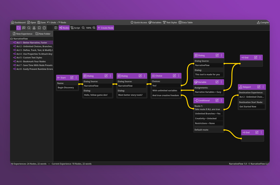
NarrativeFlow
Visual Narrative Design Tool for Game Developers
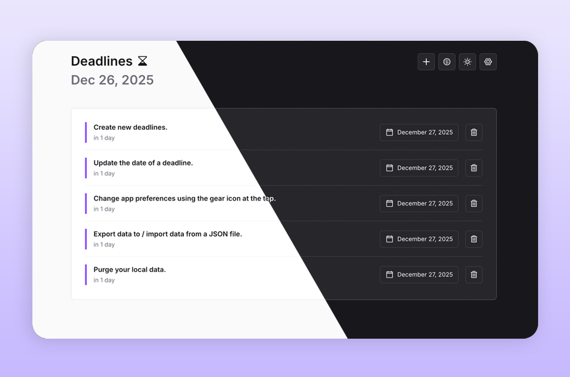
Deadlines
Minimalist Deadline Tracker
ScreenAsk
Screen Recording Links for Customer Support